Public support for future management
87.7%
Floodplain management
87.7%
Habitat Management
83.6%
Volunteer Group
91.7%
Cattle Grazing
Other Flood Defences
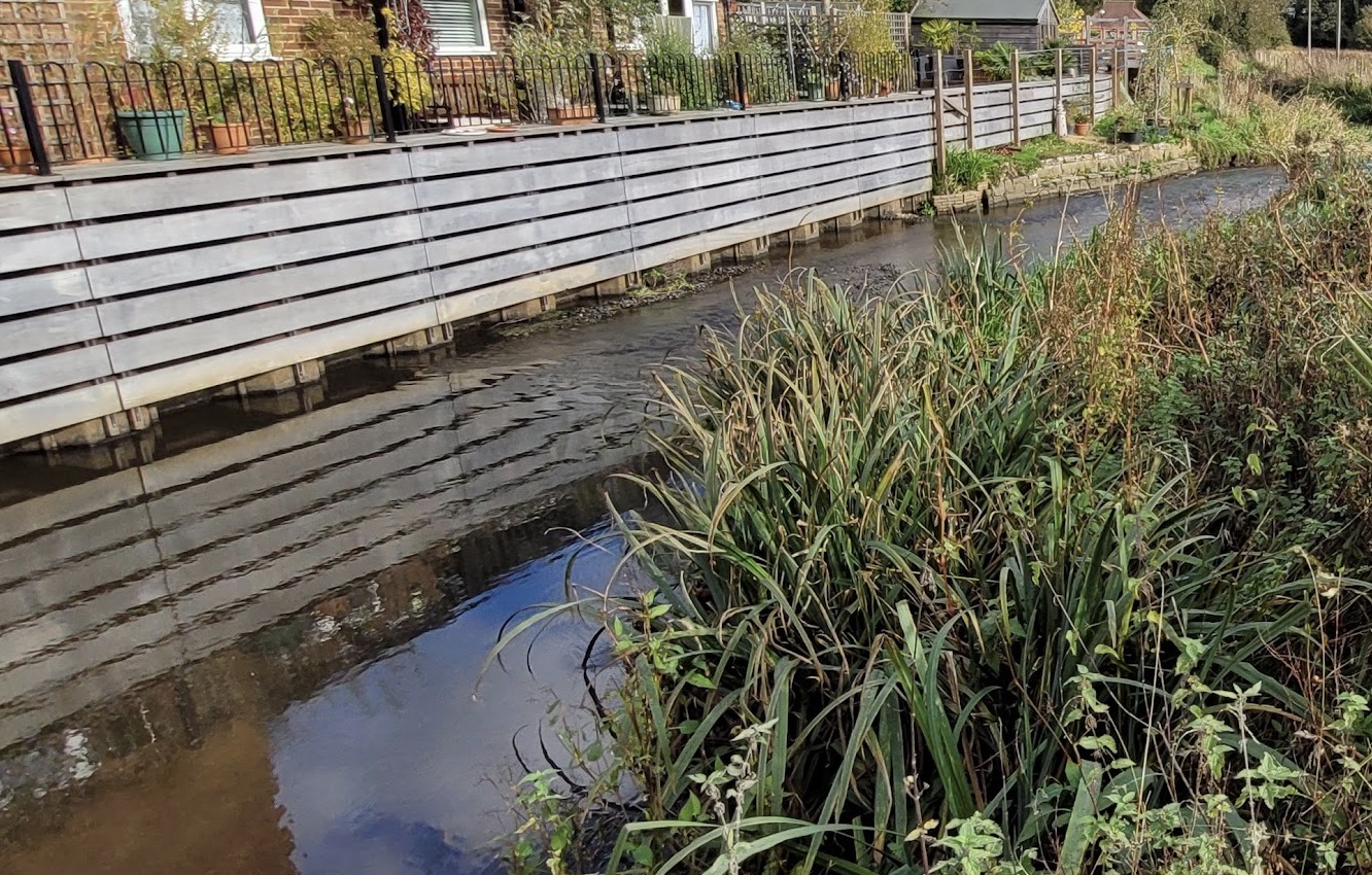
The £4.5m Godalming Flood Alleviation Scheme was carried out by Mackley working as part of Team Van Oord and on behalf of a partnership comprising the Environment Agency, Surrey County Council, Waverley Borough Council, Godalming Town Council, Thames Water and the local Godalming Flood Group.
The scheme, which reduces the risk of flooding to 90 properties in the town, was officially unveiled on 11 October by Emma Howard Boyd, chair of the Environment Agency, and Jeremy Hunt South West Surrey MP.
Aditionally Two pumping stations were also installed to pump out a combined total of 84 litres per second. The pumps catch water fed by the surface water drainage system and ground water, and will pump water back to Hell Ditch during times of high river levels.
Planning Policy
The local plan for Waverley has the following to say about flood risk management (Policy CC4). This is not speific to the Lammas Lands, but section c should be of specific interest when talking about any development on the functional floodplain.
Development must be located, designed and laid out to ensure that it is safe; that the risk from flooding is minimised whilst not increasing the risk of flooding elsewhere; and that residual risks are safely managed. In locations identified as being at risk of flooding, planning permission will only be granted, or land allocated for development, where it can be demonstrated that:
a. where sequential and exceptions tests have been undertaken and passed, any development that takes place where there is a risk of flooding will need to ensure that flood mitigation measures, including a site specific flood evacuation plan, are integrated into the design both on-site and off-site, tominimise the risk to property and life should flooding occur;
b. through a sequential approach, it is located in the lowest appropriate flood risk location in accordance with the NPPF and the Waverley Strategic Flood Risk Assessment (SFRA)
c. It would not constrain the natural function of the functional floodplain, either by impeding flood flow or reducing storage capacity.
Greenway Consultation
The consultation has now finished, it is however a good resource for official plans and holds all of the comments for the proposals.
Management Plan
The Lammas Lands Management plan offers the following detail regarding both the function and importance of the functional floodplain, it even lists it as it's primary objective.
"The Lammas Lands are part of the floodplain of the River Wey. At times of flood, water from the Wey floods runs onto the meadows from the river and either exits into the Hell Ditch marking the northern edge of the main field system or passes down the meadows to the east before exiting to the river further down."
"The slightly higher land around Lammas Lands is largely built up and the meadows form a vital part of the flood relief measures helping to prevent or alleviate flooding of these properties."
"It is therefore important that nothing is done to prevent or obstruct the free flow of water across the meadows, and that the open nature of the site is maintained"